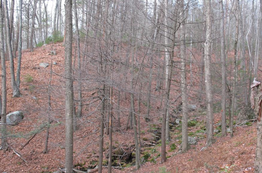
Project Area
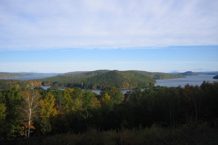
 The Quabbin Reservoir in central Massachusetts is one of the largest man-made public water supplies in the United States . It was created in the 1930s by the construction of two huge earthen dams and the disincorporation and flooding of four towns. Quabbin holds 412 billion gallons of water when full. In addition to the 24,469-acre Reservoir itself, the Massachusetts Department of Conservation and Recreation, Division of Water Supply Protection (DWSP) manages approximately 55,000 mainly forested acres (about 56% of the land base) in the Quabbin Reservoir watershed.
 The Ware River watershed sits between the Quabbin and Wachusett Reservoir watersheds. Water from the Ware River can be diverted west to Quabbin Reservoir through the same deep bedrock aqueduct which carries water east from Quabbin to the Wachusett Reservoir. DWSP actively manages forests on about 89% of the 23,516 acres under its control here (about 38% of the Ware River watershed land base).
Management Goals

The enabling legislation for the Division of Water Supply Protection directs the agency “… to assure the availability of pure water for future generations,” and so forest management is focused on the production of a stable source of high-quality water. More specific goals and objectives are outlined in the recently completed DWSP 2017 Land Management Plan related to protecting of water quality, maintaining water yields, protecting watershed lands, and using land management to maintain key ecosystem functions and enable the forest to cope with stressors and disturbance. The Land Management Plan also includes greater recognition and consideration of the effects of climate change compared to previous plans.
This particular adaptation demonstration is focused on the Continuous Forest Inventory (CFI), an array of permanent inventory plots that have been in place at Quabbin since 1960 and at Ware River since 1962. The inventory is designed to assess standing volume, growth, mortality, health, species composition, and regeneration at a broad forest-level scale. For this Adaptation Project, DWSP forest managers considered questions such as:
- How can we think about climate change and the data we might need to collect to help us see the effects of climate change on managed and unmanaged watershed forests?
- Should we be looking at more than just tree data on these plots?
- How can we use these plots to help us better manage our forests for clean water production in the face of climate change?
Climate Change Impacts
Challenges and Opportunities
Challenges
Opportunities
Adaptation Actions
DWSP will continue using the CFI to monitor changes in species composition, tree growth, and forest structure in response to management actions. The Adaptation Workbook was used to identify some potential ways to adapt the CFI program and protocols to a changing climate and shifting forest conditions. Some new adjustments that are under consideration include:
- CFI plots are located both in reserve areas (areas with no active management, serving as refugia) and in areas of active management to monitor the effects of management over time. Items that could be compared include species composition over time, natural regeneration, and the response to natural disturbance.
- Data from CFI plots can be used to explore species composition and aid efforts to favor or restore native species for future conditions. Looking at current species composition, including risk of decline under climate change, could help identify which areas or stands will be more likely to be susceptible to change from climate change.
- Consider expanded or new protocols to measure the occurrence of invasive species, insect pests, and forest diseases and to gather additional information on the causes of trees stress and mortality. A growing season inventory could be adapted to target these items.
- With the potential of Southern tree species migrating North, unanticipated new tree species may occur in CFI plots over time. DWSP adopted the MA state tree species code list for the first CFI in 1960. This list is limited to 2-digit codes and has little room for flexibility, but we still use it today. Simply replacing the current state tree species codes to USFS 3-digit tree species codes will provide the necessary flexibility in the protocol without having to 'reinvent the wheel' for each new species we detect (or worse, lump them into 'other hardwood'!)
- It may be advisable to split the sampling across multiple seasons, collecting regeneration and other ecological data in the summer and leaving timber data collection for the dormant period. This may be particularly useful to help determine the rate of recovery of herbaceous plant diversity following many years of controlled deer hunting at Quabbin.
Next Steps
During 2018 DWSP will need to:
- produce a complete report of past CFI results;
- collaborate with nearby university faculty (statisticians, ecologists);
- develop a set of data collection procedures that will maintain the core functionality of the CFI while also providing relevant and defensible data that meet the needs of this program;
- conduct an internal review of proposed changes to the CFI protocol and finalize changes;
- integrate new technology into the data collection procedures and train staff.

